How GIS Technology is Revolutionizing Public Infrastructure Monitoring
Posted on AUGUST 12, 2026
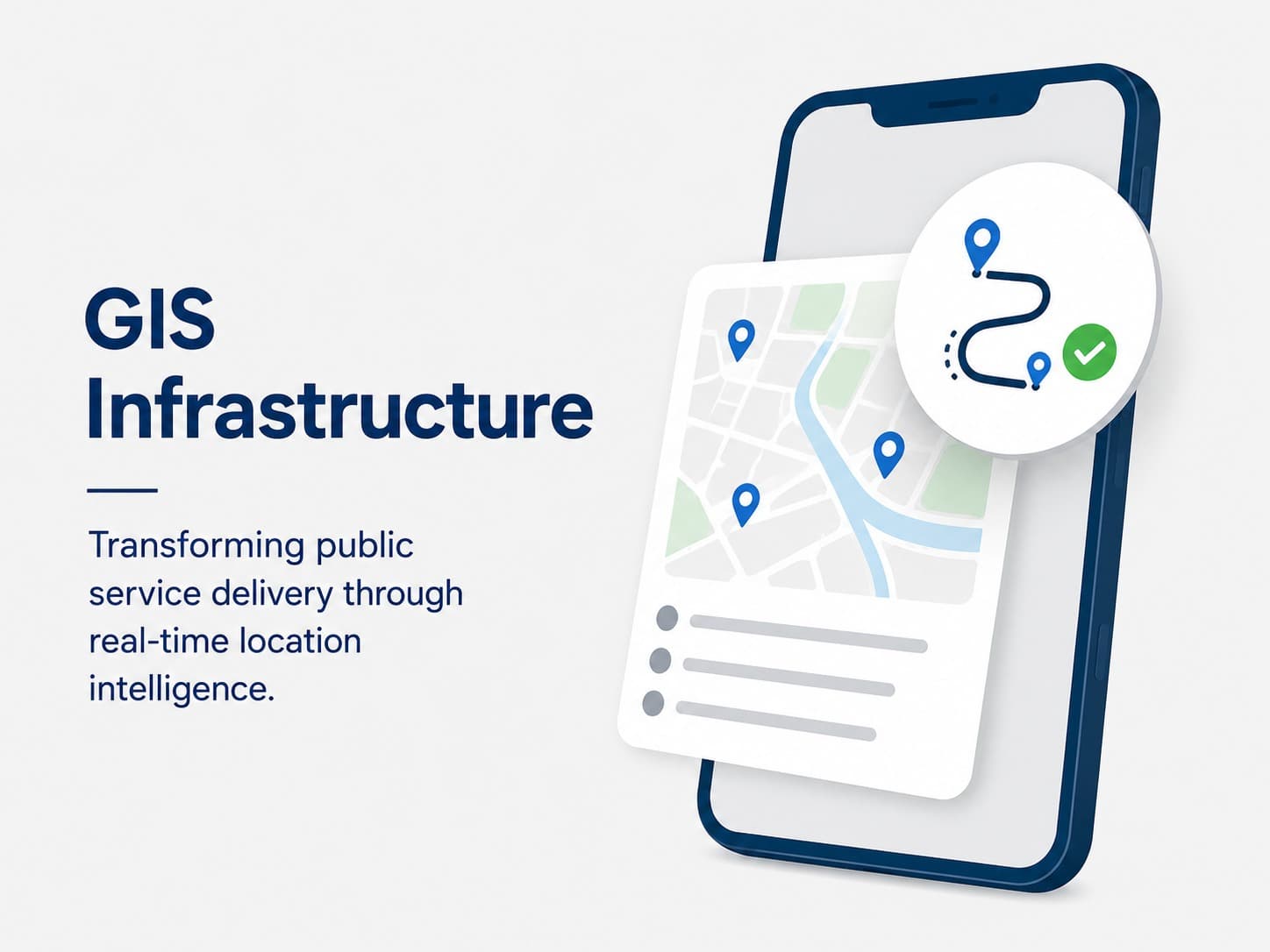
Public infrastructure projects are essential for economic growth, community development, and quality public service delivery. However, managing roads, bridges, water systems, public buildings, and development projects across large geographic areas has traditionally been a complex challenge. Governments and organizations often struggle with fragmented information, delayed reporting, and limited visibility into project progress.
Geographic Information System (GIS) technology is transforming how public infrastructure is planned, monitored, and managed. By combining location-based data with real-time reporting and visualization tools, GIS enables decision-makers to gain a comprehensive view of infrastructure assets and development activities from a single platform.
What Is GIS Technology?
A Geographic Information System (GIS) is a technology framework that captures, stores, analyzes, and visualizes geographic and spatial data. It allows organizations to view information on interactive maps and understand relationships between locations, assets, resources, and activities.
Unlike traditional spreadsheets and reports, GIS provides a visual representation of data, making it easier to identify trends, monitor performance, and make informed decisions.
Why Infrastructure Monitoring Needs GIS
Infrastructure projects often involve multiple stakeholders, contractors, locations, budgets, and timelines. Managing this information through manual processes can result in inefficiencies, delays, and reduced accountability.
Common challenges include:
- Limited visibility into project locations and status
- Difficulty tracking field-level progress
- Delayed reporting from implementation sites
- Inconsistent project data across departments
- Challenges in resource allocation and planning
- Lack of real-time information for decision-making
GIS technology addresses these challenges by integrating geographic intelligence into infrastructure management workflows.
Key Ways GIS Is Transforming Infrastructure Monitoring
Real-Time Project Visualization
GIS platforms provide interactive maps that display the location and status of infrastructure projects in real time. Administrators can quickly identify active projects, monitor progress, and assess implementation across regions.
This visual approach helps decision-makers understand project distribution and prioritize actions more effectively.
Improved Project Tracking
Infrastructure projects can be monitored through GIS-enabled dashboards that combine location data with progress reports, financial information, and implementation milestones.
Project managers can:
- Track ongoing activities geographically
- Monitor project completion percentages
- Identify delayed projects
- Compare planned versus actual progress
Better Resource Allocation
GIS helps governments analyze regional needs and allocate resources based on accurate geographic data. Decision-makers can identify underserved areas, prioritize investments, and ensure equitable development.
This leads to more efficient use of budgets and improved public outcomes.
Enhanced Field Monitoring
Field engineers and monitoring teams can use mobile applications connected to GIS platforms to submit updates directly from project sites.
Benefits include:
- Real-time field reporting
- GPS-based project verification
- Photo and document uploads
- Reduced reporting delays
- Improved data accuracy
Increased Transparency and Accountability
GIS-based monitoring systems make project information more accessible to stakeholders. Interactive dashboards can display project locations, budgets, implementation status, and completion timelines.
This transparency helps strengthen public trust while improving accountability among contractors and implementing agencies.
GIS Applications in Public Infrastructure
Road and Transportation Projects
GIS helps authorities monitor road construction, maintenance activities, transportation networks, and traffic infrastructure across municipalities and regions.
Water Supply and Sanitation Systems
Water pipelines, reservoirs, treatment facilities, and sanitation infrastructure can be mapped and monitored through GIS-enabled platforms.
Urban Development Projects
Municipalities use GIS to track public buildings, parks, housing projects, and community development initiatives.
Disaster Risk Management
GIS plays a critical role in identifying vulnerable areas, mapping emergency resources, and supporting disaster preparedness and response planning.
Utility Asset Management
Organizations can maintain accurate inventories of utility assets while monitoring maintenance schedules and operational performance.
Benefits of GIS-Based Infrastructure Monitoring
Faster Decision-Making
Interactive maps and dashboards provide instant access to project information, enabling administrators to respond quickly to emerging issues.
Improved Project Performance
Real-time monitoring helps identify delays and bottlenecks before they become major problems, increasing the likelihood of successful project delivery.
Data-Driven Planning
GIS combines infrastructure data with demographic, environmental, and economic information to support strategic planning and investment decisions.
Cost Efficiency
By improving project oversight and reducing reporting inefficiencies, GIS can help lower operational costs and optimize resource utilization.
Stronger Governance
Location-based transparency and automated reporting contribute to better governance, accountability, and compliance across infrastructure programs.
Emerging Trends in GIS for Government
Mobile GIS
Field staff can collect and update geographic data directly from smartphones and tablets, ensuring accurate and timely reporting.
Cloud-Based GIS Platforms
Cloud infrastructure enables organizations to access GIS data securely from anywhere while improving collaboration across departments.
AI and Predictive Analytics
Artificial intelligence is being integrated with GIS to identify patterns, forecast infrastructure needs, and support predictive maintenance strategies.
Smart City Integration
GIS serves as a foundation for smart city initiatives by connecting infrastructure data with IoT sensors, traffic systems, environmental monitoring tools, and public services.
Looking Ahead
Infrastructure monitoring is no longer limited to spreadsheets, paper reports, and periodic field inspections. GIS technology is enabling governments and organizations to move toward real-time, location-aware decision-making that improves efficiency, accountability, and project outcomes.
As municipalities and public institutions continue their digital transformation journey, GIS will play an increasingly important role in planning, monitoring, and managing infrastructure investments. Organizations that embrace GIS today will be better equipped to deliver sustainable development, optimize public resources, and build smarter communities for the future.
Similar Blogs
JUNE 4, 2026
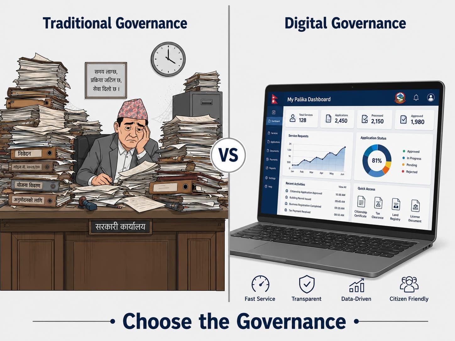
Digital Transformation for Local Governments
Discover how digital transformation helps municipalities modernize services, improve transparency, and create smarter, citizen-focused communities.
Read more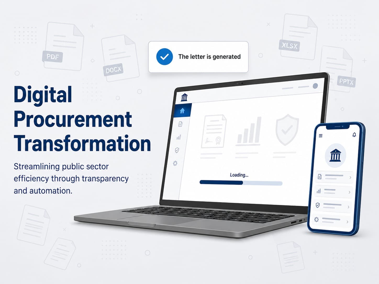
JUNE 4, 2026
Modernizing Public Procurement Through Digital Platforms
See how Digital procurement platforms enhance transparency, efficiency, and oversight.
Read more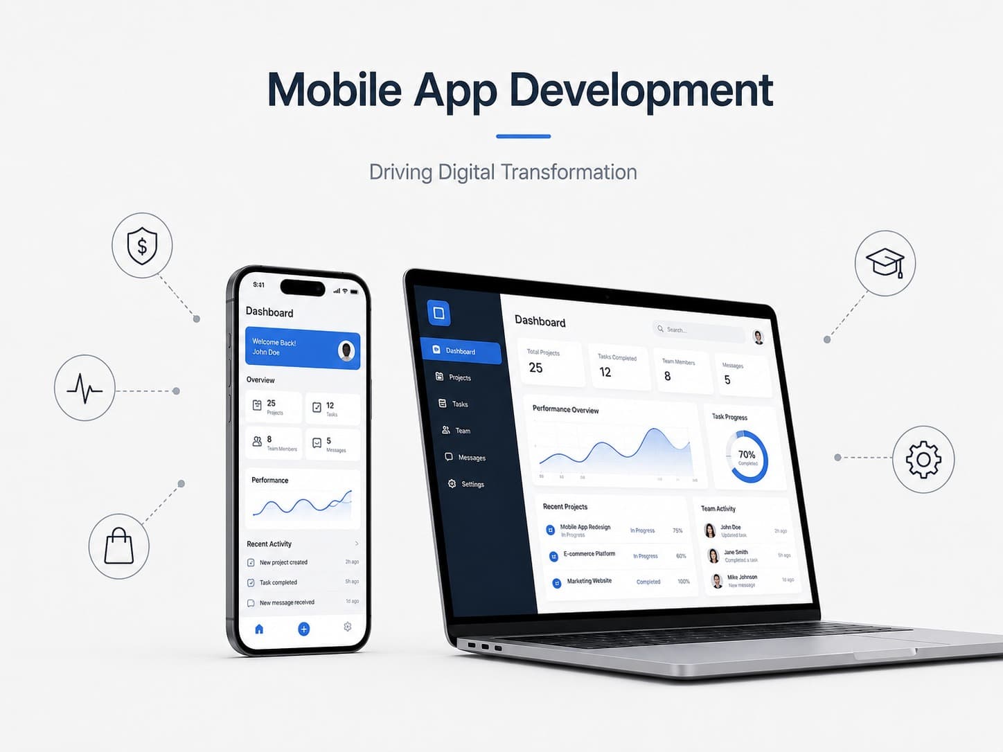
AUGUST 12, 2026
Mobile App Development: Driving Digital Transformation Across Industries
Explore how mobile apps boost engagement, streamline operations, and drive digital transformation.
Read moreLet’s Engineer Your Digital Future And Make It Happen
Whether you're just starting out or refining an existing idea, we're here to listen and help. Connect with us for a free consultation and personalized guidance.
Book a free consultation